Quality Commitment
How we ensure that every thermal survey we conduct produces reliable, useful, and clearly communicated results.
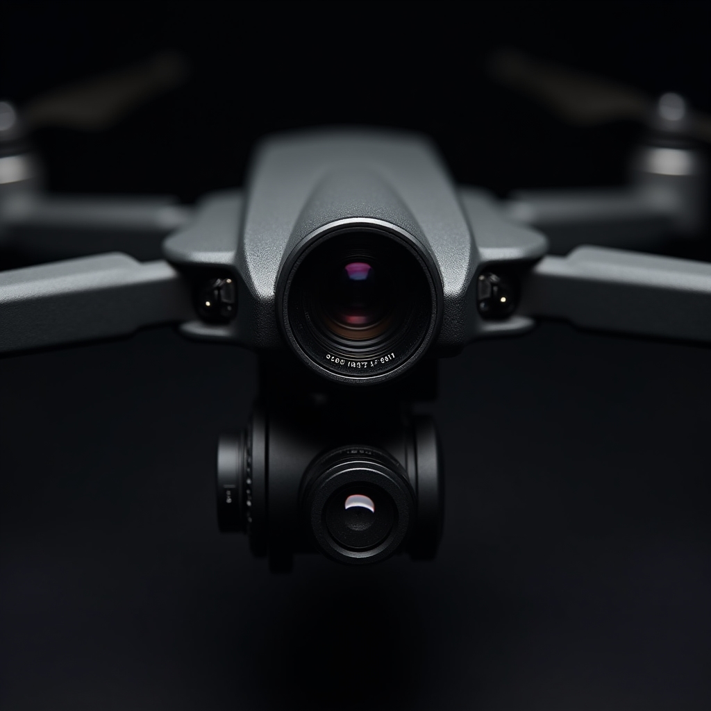
Calibrated infrared cameras
Thermal imaging quality depends fundamentally on the instrument used. We work with radiometric infrared cameras designed specifically for building envelope diagnostics, with thermal sensitivity sufficient to detect temperature differences relevant to heat loss and air infiltration in Chilean climate conditions.
Camera calibration is verified before each survey mission. Emissivity settings are adjusted for the specific facade materials present in each building — concrete, painted surfaces, glass, aluminum, and composite cladding each require different emissivity values to produce accurate temperature readings.
Surveys are conducted during optimal thermal contrast conditions — typically early morning in winter, when the temperature differential between interior and exterior is at its highest, maximizing the visibility of thermal anomalies in the infrared image.
Structured survey protocol
Every thermal survey follows a defined protocol to ensure consistent coverage, comparable results, and complete documentation.
Meteorological Conditions Check
Before each flight, we verify wind speed, ambient temperature, solar radiation, and recent rainfall. These factors directly affect the reliability of thermal anomaly detection. Surveys are rescheduled if conditions do not meet minimum standards.
Systematic Flight Path Planning
Flight paths are planned to ensure complete facade coverage with appropriate overlap between thermal image frames. Altitude and distance from the facade are standardized to maintain consistent image resolution across the entire building surface.
Multi-Pass Verification
Critical areas identified during the initial pass are revisited from different angles to confirm the nature and extent of the thermal anomaly. This reduces the risk of misidentification due to surface reflections or other non-thermal effects.
GPS-Tagged Image Archive
Every thermal image is stored with GPS coordinates and timestamp metadata. This allows precise re-location of any finding and enables direct comparison between surveys conducted at different times or seasons.
Independent Analysis Review
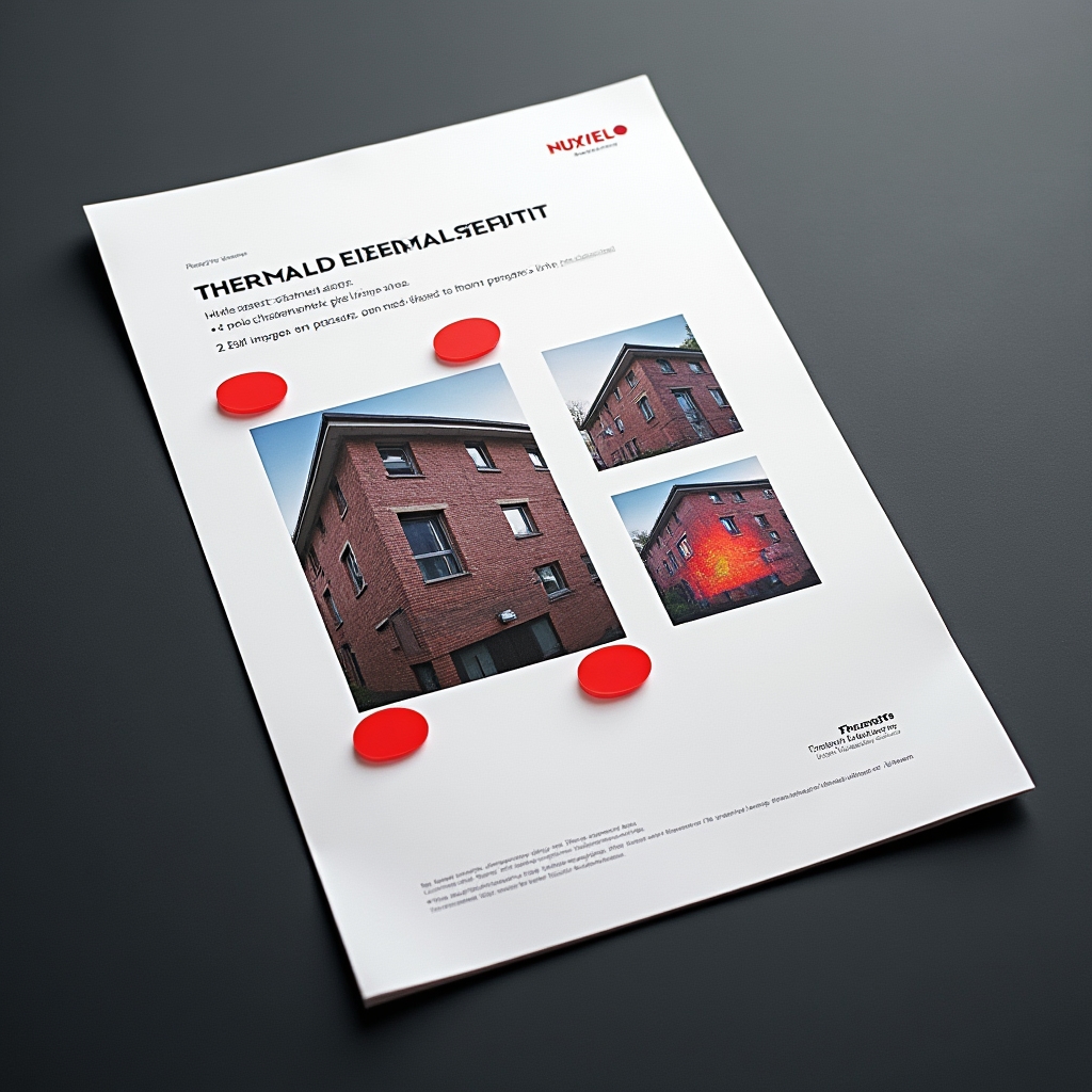
Thermal image analysis is conducted by a trained thermographer and reviewed before report compilation. Anomaly classifications are cross-checked against the visible-light photographs to ensure accurate identification of the building element involved.
Report Verification Before Delivery
The final report is reviewed for completeness, accuracy of location descriptions, and clarity of the visual markings before delivery. We confirm that every finding identified in the analysis is documented and located in the report.
Reports designed for real decisions
A thermal survey is only useful if the findings can be understood and acted upon. We design every report with the building community in mind — not just the technical administrator, but the committee members and co-owners who will ultimately decide whether and how to address the findings.
Have questions about our survey process?
Contact us to discuss the specific characteristics of your building and what a thermal survey would involve.
Contact Us